
Take control of your field operations with centimeter-level accuracy and seamless connectivity — even in areas where mobile signals fail. Ultra AI Navigation and low-orbit satellite internet come together in a seamless package, enabling instant, infrastructure-free positioning and high-speed connectivity wherever your work takes you.
An all-in-one solution that integrates precise positioning, connectivity, correction services and AI to deliver maximum performance inany operation.
Precise Positioning
Connectivity
Correction Services
Artificial Intelligence
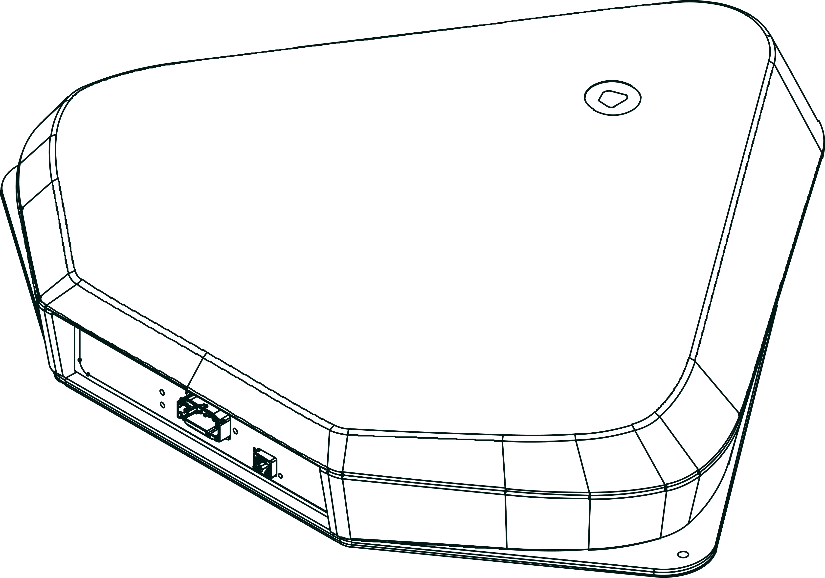
UltraLink combines Nordian’s cutting-edge navigation with redundant and flexible correction options — satellite or internet — delivering convergence in seconds and smooth, stable positioning. Designed for real-world conditions, it’s ideal for dynamic field operations that requireplug-and-play simplicity and maximum reliability, no matter the environment.
UltraLink combines Nordian’s navigation receiver with satellite or internet corrections, ensuring fast convergence and stable positioning. Ideal for dynamic field use with plug-and-play simplicity and high reliability.
UltraLink receives correction data via satellite or IP, eliminating the need for base stations, radios, or cellular towers. This drastically reduces infrastructure costs and setup time while improving reliability in the field.
From tractors and drones to mining rigs and autonomous vehicles, UltraLink delivers stable, real-time accuracy even during high-speed movement or in rugged terrain. Its smooth signal tracking ensures uninterrupted performance, wherever you go.
UltraLink leverages low-orbit satellite internet to deliver IP corrections anywhere. All connectivity is managed directly by Nordian — no SIM cards, no external modems, no user setup required.
Thanks to Wi-Fi Direct and Ethernet capabilities, UltraLink can also connect local devices — such as operator terminals or OEM displays — without additional networking hardware. All connectivity and data plans are bundled with Nordian's correction service, making deployment and operation effortless for OEMs and end users alike.
Connect local displays and controllers with no router needed
Seamless satellite IP delivery, natively integrated into UltraLink hardware
No setup or contracts — correction and data handled as one package
Deploy in vehicles, bases, or remote equipment with zero configuration

Centimeter-level accuracy in under 30 seconds
Supports internet corrections
Multi-constellation GNSS: GPS, GLONASS, Galileo, BeiDou
SmoothTrack™: uninterrupted accuracy during transitions
Reference Frames: seamless transitions between global and regional geodetic reference frames
Scintillation Shield: advanced algorithm countering ionospheric signal disruptions
GNSS + high-performance IMU fusion
Connectivity: RS-232, CAN, Wi-Fi
50 Hz position update rate
Year-over-year centimeter-level stability
Low Earth Orbit (LEO)
50–220 Mbps
10–25 Mbps
20–40 ms
Wi-Fi Direct, Ethernet, RS-232, CAN
Under 15 minutes
Connectivity is pre-configured
and bundled with Nordian corrections, no extra devices or contracts required.


Powered by Nordian’s nationwide correction network and low-orbit satellites, UltraLink is the only platform engineered to deliver scalable, centimeter-level accuracy via IP — with no dependence on local RTK bases or cellular towers. Enable OEMs to deploy connected, precision-capable systems anywhere, with consistent performance and minimal integration overhead.
Experience UltraLink. With true mobility.
Requeste a Demo