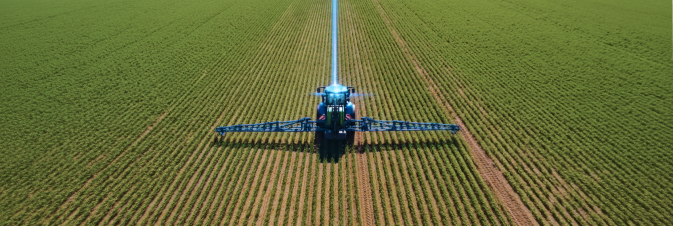
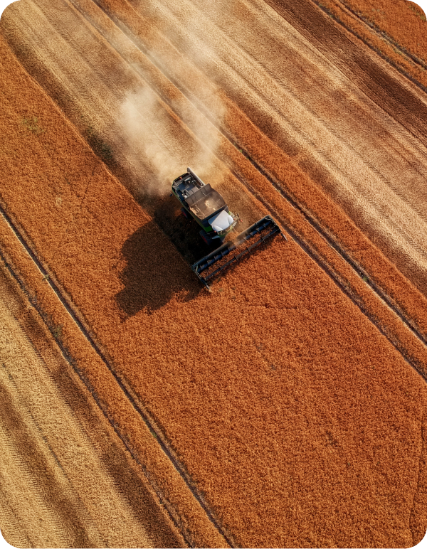
Where Physical AI has to work the first time, every time.
Agriculture
Mining
Transportation
Drones
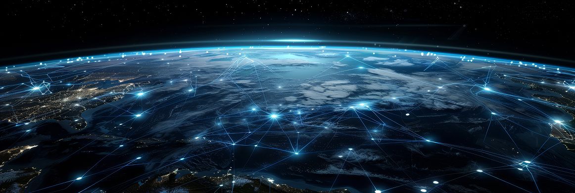
Network. Infrastructure. Available.
The Infrastructure Layer.
Exclusive Nordian positioning network, integrated satellite connectivity, and one platform that ties it all together. Built for the environments where Physical AI has to work the first time, every time.